durgapurcity.co.in
All About Durgapur and Durgapurians

Geographical Details of Durgapur
Explore the geography, climate, and maps of Durgapur city
Geography of Durgapur
Durgapur is located in Paschim Bardhaman district of West Bengal, India, situated on the banks of the Damodar River. Situated at 23.55°N 87.32°E with an typical elevation of 65 meters or 213 ft approximately, the city features a mostly undulating, rocky, laterite soil terrain that changes into the alluvial plains of Bengal.
1. Location & Topography
· Located in the western part of West Bengal, the city acts as a evolution zone between the Chota Nagpur Plateau and the fertile Gangetic plains. It lies between the Damodar River to the south and the Ajay River to the north.
Co-ordinates: Approximately 23.55°N latitude and 87.32°E longitude.
Elevation: The city lies at an average altitude of 65 metres (213 ft).
Terrain: The landscape is undulating and rocky, featuring laterite (red) soil. It lies between the Damodar River to the south and the Ajay River to the north.
Boundaries: It is bordered by the Ajay River to the north and the Damodar River to the south. The land boundaries are
o North: Birbhum district, across the Ajay River.
o South: Bankura district, across the Damodar River.
o East: Bardhaman Sadar North subdivision
o West: Asansol subdivision.
2. Climate: · Durgapur experiences a tropical savanna climate, characterised by hot, humid summers (40 °C - 45 °C ) a distinct monsoon season (June–September), and dry, mild winters ( 8 °C – 10 °C)
Summer (March – June): Extremely hot and dry, with temperatures often exceeding 45°C.
Monsoon (June – September): Receives heavy rainfall, averaging 1,300–1,320 mm annually. Locals sometimes call it "Chhota Cherapunji" due to these heavy rains.
Winter (November – January): Cold and dry, with average minimums around 9°C
3. Natural Resources & Environment : The area historically contained forests, with some remnants still present, although much has been cleared for industrial development. The city's landscape features rocky, undulating terrain.
Mineral Wealth: The city is adjacent to the Raniganj coalfields, which fuel its massive steel and power industries.
Vegetation: The area historically contained forests, with some remnants still present, although much has been cleared for industrial development. The city's landscape features rocky, undulating terrain. Originally a dense forest area, remnants of indigenous Sal and Mahua forests can still be found in streaks, particularly in the eastern parts. The Garh Jungle on the eastern edge is a notable forested area with ancient mythological significance.
Air Quality: It was recently ranked the 35th best "National Clean Air City" in its population category. Though the air quality of Durgapur is rapidly degrading.
4. Key Geographical Landmarks:
Durgapur Barrage: A 692-metre-long barrage built across the Damodar River for irrigation and supplying water to the industrial township.
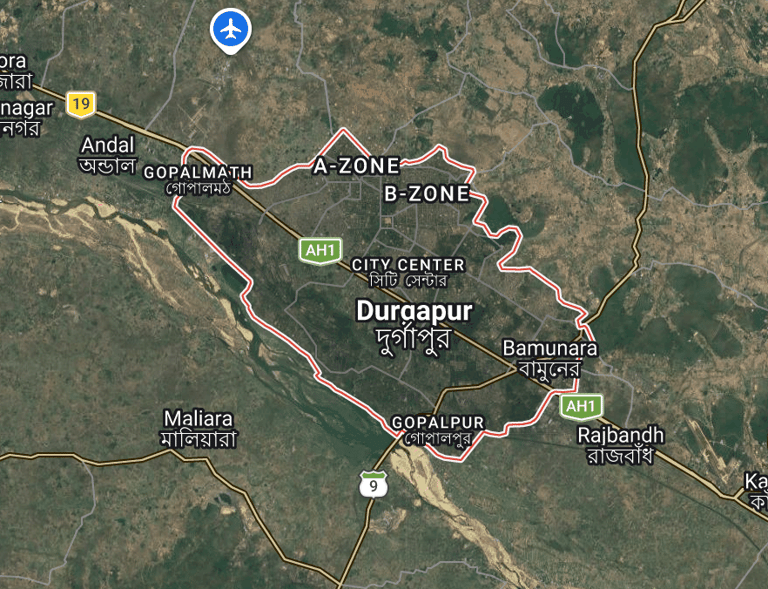
Urban Layout: It is one of India's few planned cities (designed by Joseph Allen Stein and Benjamin Polk), featuring distinct zones like the Durgapur Steel Township, MAMC Township, Durgapur Project Limited (DPL ) Township, and City Centre. Often called the "Ruhr of India," Durgapur is characterized by heavy industries, including steel, power, and manufacturing. It is the second planned city in India after Chandigarh.
Neighboring Areas: It is surrounded by the Asansol subdivision to the west, Bankura district across the Damodar River to the south, and Birbhum district to the north.
GEOGRAPHICAL DETAILS OF DURGAPUR
Durgapur Location
Durgapur lies at latitude 23.5°N and longitude 87.3°E, with an altitude of 54 meters.
Map
Durgapur, West Bengal
Info
Summer 40°C
Maps
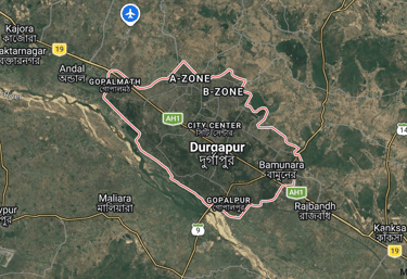
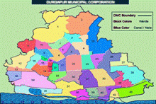
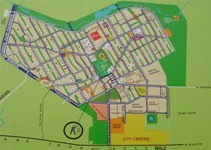
Three essential maps showcasing Durgapur’s layout and steel township.

FAQs
Where is Durgapur located?
Durgapur lies at latitude 23.52°N and longitude 87.31°E.
What is the altitude?
The city stands approximately 54 meters above sea level.
How is the weather in Durgapur?
Summers are warm, with temperatures around 45°C, while winters are mild, dropping to about 10°C.
Average rainfall here?
Durgapur receives around 1300 mm of rainfall annually.
How far from major cities?
Distances to cities like Kolkata and Asansol are detailed in our tables.